 Historically, the Red River dike has held a special significance for the city of Hanoi. In 1010, King Ly Thai To of Dai Viet (or “Great Viet” the name of Vietnam at the time) decided to move the capital from Hoa Lu (his homeland, 100 km South of Hanoi) to the North. When his boat landed at Nhi Ha River (former name of the Red River), the king saw a large dragon-shaped cloud rising from the water. The king relied on that good omen and decided to settle the new capital in the place that he named Thanh Long or Ascending Dragon...
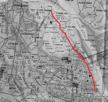
Map of the Red River's dike in Hanoi. The red line is the proposed project:
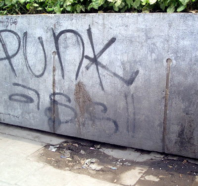
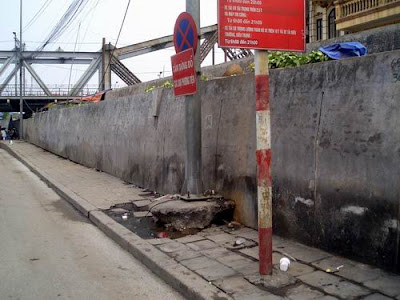
The dike, believed to be 900 year old in 2008, always protects the town from floods and is a true witness to Hanoi’s history and development. A part of the dyke, which is running along the urban streets of Hanoi, has been concreted in 1990.
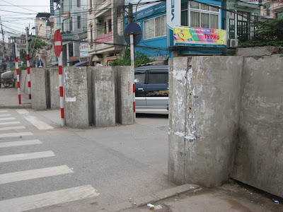
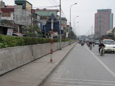
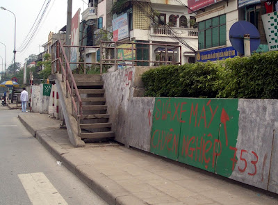
Some parts of the Red River's dike prior the project, March - April 2007:

Preview of the Hanoi Mural by Photoshop:

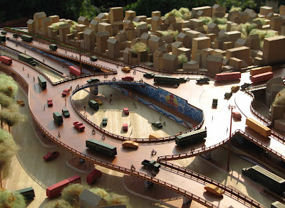
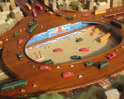
Model of the Hanoi Mural:
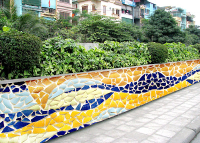
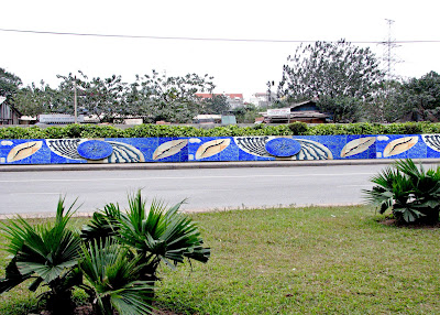
A part of Hanoi Mural (done in February 2008):

No comments:
Post a Comment